WhiteStar Culture now Turbocharged with US Contour and Building Footprint Data
Locating, downloading, manipulating and massaging massive map datasets consumes weeks of your GIS department’s valuable time, not to mention creates a new management task for each update which can happen quarterly, monthly or even daily. WhiteStar has automated this cumbersome process and recently integrated two massive data sets into its WhiteStar CultureⓇ Product: The USGS 3DEP ⅓ Arc Second Contour Dataset for the United States containing 32,074,423 surface contours and Microsoft’s Building Footprint dataset consisting of 126,256,200 building footprints.

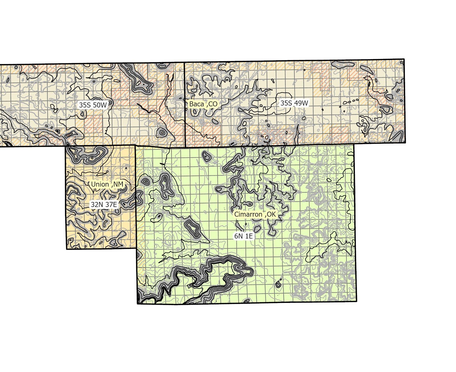
Clipping out particular areas of interest from hundreds of source files is challenging. Subscribers to WhiteStar Cloud can quickly define irregular areas of interest by lat/long box, township and range, county or state then select an output coordinate system (typically State Plane or UTM), and an output format such as an ArcGIS file geodatabase, shapefile, or other popular GIS data format, G&G apps (CDF) and CAD DXF/DWG formats. When the data are ready, users are notified via email. Alternatively and excitingly, map data can be delivered as a streaming ArcGIS server web service (or OGC WFS and WMS formats) in the form of an URL for both feature and map services.
ArcGIS server web services are an attractive alternative to reliably add map features to your projects and avoid many of the traditional time and value sapping data management tasks.
Software vendor provided basemaps are nice-to-have, but often customers want to have a more versatile basemap showing “townships covering multiple states” or “county and city boundaries in parts of three states” or “all the pipelines running through Texas” without the associated clutter of labels that invariably comes with vendor provided raster basemaps. Imagine having the capability to zoom anywhere in the USA and display only those desired map features while maintaining the labeling flexibility provided by feature class web services. For convenience, raster based web services are also provided “pre canned” and also readily available when instant display is critical.
On the downside, Internet connectivity is not always available to personnel in the field, but the data can be pre-downloaded from WhiteStar cloud for offline use. Many users will opt for a hybrid solution of downloaded data for critical or specialized projects and web services where that makes sense.
We have noticed that many government sites are not reliably maintained or updated with the latest vendor technology. WhiteStar aims to fill the gap here in terms of curation and reliability.